Find local businesses, view maps and get driving directions in Google Maps.
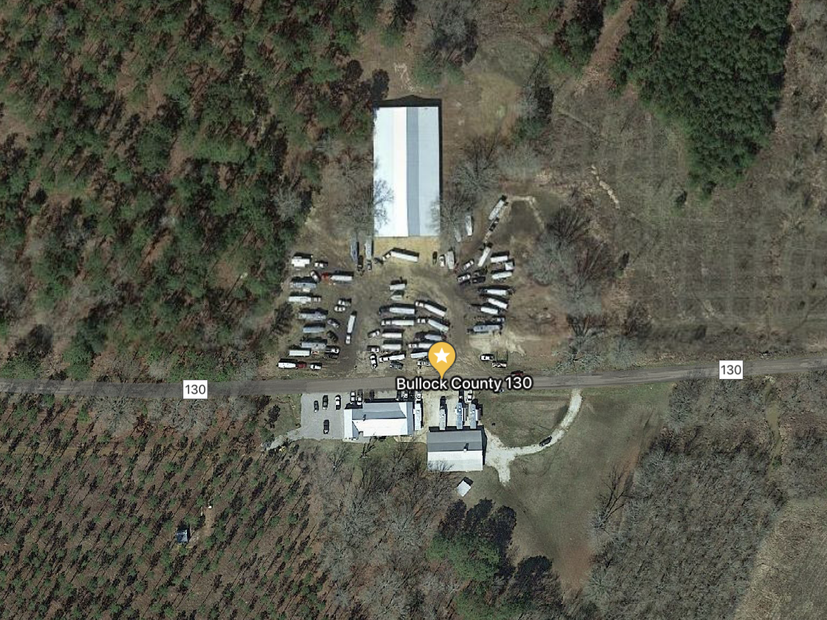
2175 county road 130 Union Springs, Alabama 36089
GPS Coordinates
32.189421,-85.772439
Location
Adjoins the city limits of Union Springs Alabama. 2 Miles from Franklin Field, the Bullock County municipal airport. Larger airstrips nearby include Moton Field in Tuskegee (23 miles), Robert G. Pitts Airport in Auburn (41 miles), and Montgomery Regional Dannelly Field (55 miles)
Directions
From Union Springs: take US Hwy 29 North less than one mile. Turn left on county Road 23. Turn Left on County Road 130, continue to Headquarters.
From Montgomery: Take Hwy 110 south to Thompson COmmunity, TUrn Left on County Road 165, continue Though Gate onto County Road 130 and follow to Headquarters
From Tuskegee: Take Hwy 29 South towards Union Springs. At city limits, turn right onto County Road 23. Turn Left on County Road 130 and follow to Headquarters